GPS Tracking for Fire Fighters
Fire fighting is one of the most important exigencies, where time is of greatest essence. Every second lost means an increase in the risk. It is most important for the fire fighters to reach the location of the fire as soon as possible, take the route that takes minimum time, and has no blockades.
Imagine a forest fire that is spreading fast and engulfing forest after forest and is raging fast towards the human inhabitations. It is extremely important for the forest officials to pinpoint the areas where the fire is spreading and the amount and location of the fire.
Navigation to Forest Fires: Forest fire points are normally collected by the satellites hovering over the planet earth and are thrown back to the respective forest department heads. Normally these are PoI (Point of Interest) that provides almost accurate points where the forest fire is seen from the satellite imagery analysis.
Once these Fire Points are received by any Forest Department, it immediately turns into a race against time for the Forest officials till the fire is doused.
Using GPS locations of the Forest Fire Points, and the area demarcated for each of the Forest ranger or officer, the navigation to the forest fire is provided through GPS tracking. The Forest ranger or officer reaches the area where the forest fire is raging, assessment and trajectory is immediately reported, and at the control center a Geofence with the possible trajectory is created.
Now through GPS tracking navigation the Fire Fighters reach the area, including the choppers with water, so that the forest fire can first be contained and stopped from spreading and then it is doused. Without GPS tracking there is no way to reach the Forest Fire as phone calls or any other technology wouldn’t provide the exact location and navigation to the Forest Fire.
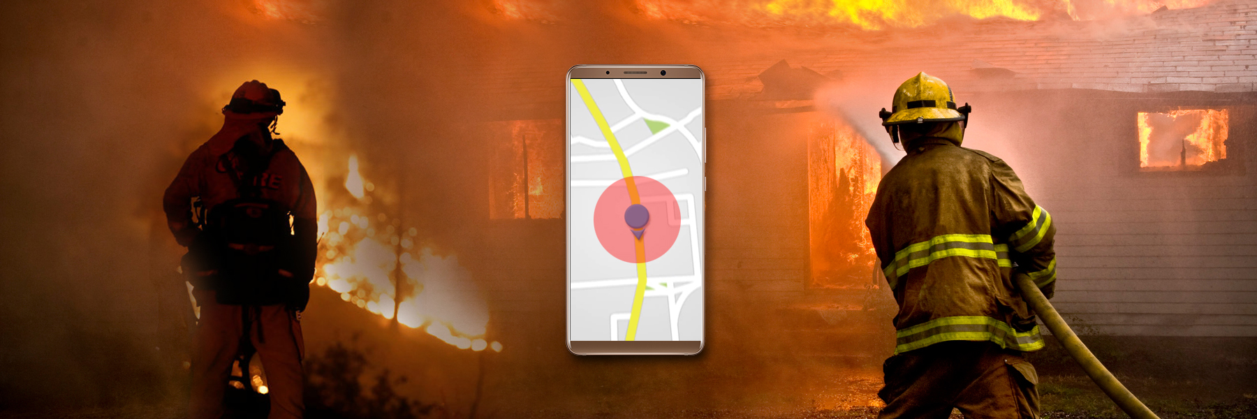
Best Route Planning: For the fires that happen in the cities and towns, in the human inhabitations, it is again a race against time to reach the right place, with the right equipment. The best route planning is only possible using GPS tracking systems installed for the Fire Fighters.
Planning: When the Fire Fighters and the Fire Fighting Engines are fitted with GPS trackers, it becomes easier for the control centres to plan how the plan how the fire can be doused, as they can see on the map itself how many Fire Fighters and engines are at the location.
Monitoring Progress: Using GPS tracking systems for the assets, engines and fire fighters, the control center can easily measure and monitor the progress of the operation to douse the fire. GPS tracking of the fire fighting improves the efficiency, provides real-time reliable data from the actual area of operations, and provides other emergency departments clear understanding on the emerging scenario so that they can be pressed into services when required.
Team Tracking: Providing Personal GPS trackers to each of the fire fighters, when the team is equipped with the GPS tracking devices, the tracking of the team at the area of operation becomes clear and planning is hassle-free. This can avoid traffic jams, consistent and real-time reliable updates are available, route diversions for other traffic can be ensured, also better route planning would mean better economy of operations.
Any Fire Fighting operation must have a GPS tracking system inbuilt into the system itself so that the efficiency is improved and cost of operations is managed.